Saturday 10th May 2025
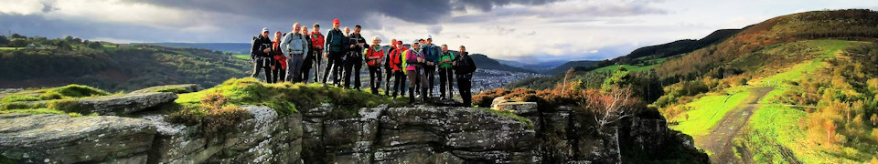
Both routes start with a cheeky climb through the forests of Mynydd y Glyn to wake the legs and lungs then pass over Mynydd y Cymmer before the two routes part ways.
The 26 mile participants will then tackle a new and revised route that heads over moorland and through woods towards the glacial cwm and stunning views of Bwlch y Clawdd before turning home via Ton Pentre and Ferndale.
The 16 mile route will descend to Dinas then tackle the sharp climb towards Rhondda Golf Club with spectacular views over the two Rhondda Valleys. The routes will merge again for a final leg testing climb towards the iconic Tylorstown tip viewpoint before the last leg home.
IMPORTANT INFORMATION FOR ALL EVENT PARTICIPANTS:
Entrants are requested to read and abide by the rules of the event, see Event Rules
- Equipment
Your attention is drawn to Point 6 in the rules which outlines the items each entrant must carry.
THIS IS A MOUNTAINOUS EVENT AND THE EQUIPMENT LISTED IS THE MINIMUM THAT WE EXPECT YOU TO CARRY.
- Directions to Start and Car Parking
We request that you follow the car parking instructions. PLEASE DO NOT PARK ELSEWHERE IN THE VILLAGE. Directions
- Route Details:
The 2025 route descriptions and GPX files for both events are available below. Note that the 26 mile route description and GPX files are provisional until the Marshals’ event has been held on 12th April 2025.
- Route Descriptions: Version 24th April 2025
Owing to path diversions, the routes of the GMRR have altered slightly from previous years.
16 mile route – MS Word document download | PDF document download
26.5 mile route – MS Word document download | PDF document download
- Download GPX files: Version 24th April 2025
16 mile route | Zipped GPX
26.5 mile route | Zipped GPX
Note: If your browser downloads the GPX file as a text file either:
– download the zipped version (the zipped version will retain the GPX file format.) or
– right click on the GPX file link and select ‘Save Link As …’
- View the routes on an OS Map: Version 24th April 2025
View 16 mile route View 26.5 mile route
You can:
– select or hover over a checkpoint marker to display some information about the checkpoint
– use the top two controls at the top left of the display or your device controls to zoom in or out
– re-position the map using drag and drop
– use the third control at the top left to use the full screen, select again to return